Category Archives: Road Trip: 2015

Voyeurs much?

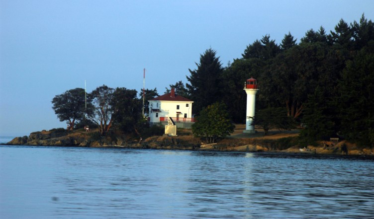
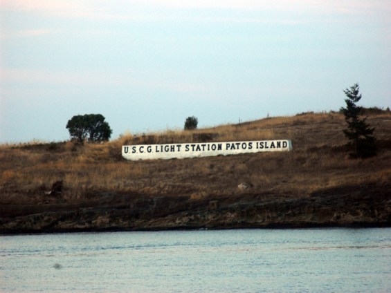
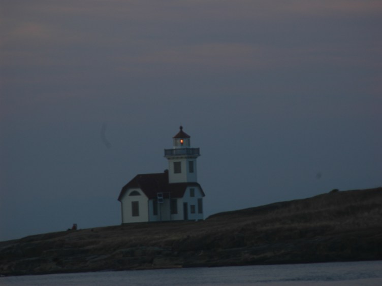
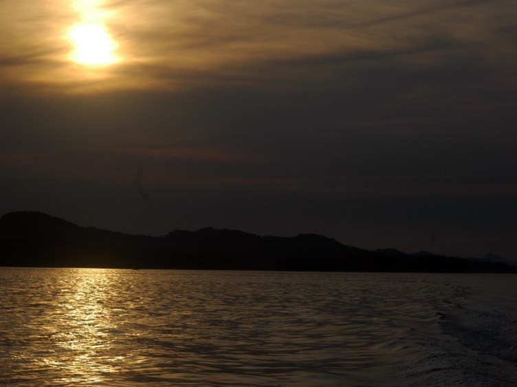
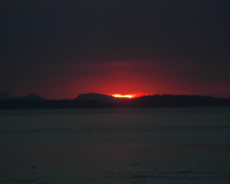
This post is a shout-out to others living as nomads, especially any of you who have done the volunteer park host, docent, or light house “keeper” thing:

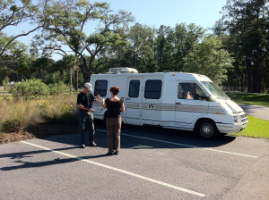
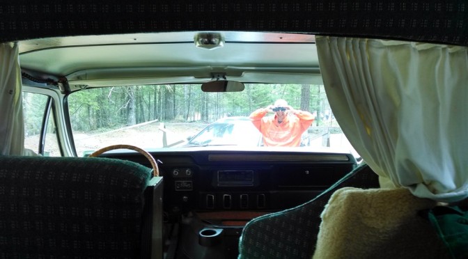
So, I glanced up the other day to see a guy with binoculars six feet in front of our motor home, smiling like a jack-o-lantern, and gazing in our front windscreen with his field glasses!

How do you deal with the curiosity of the public near your home? Ok, it’s a camp site, but home is home…is where you hang your hat… and where the heart is…AND, HEY, YOU! THIS IS WHERE I LIVE!! BEAT IT!!!!!

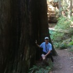
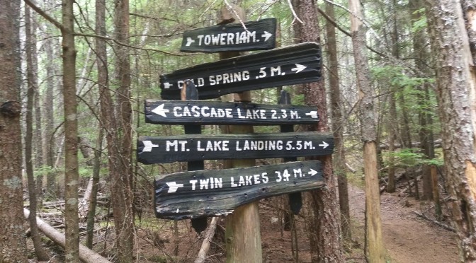
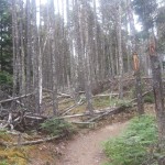
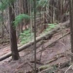
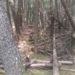
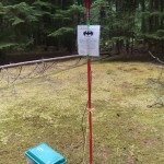
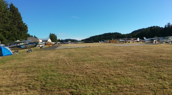
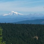
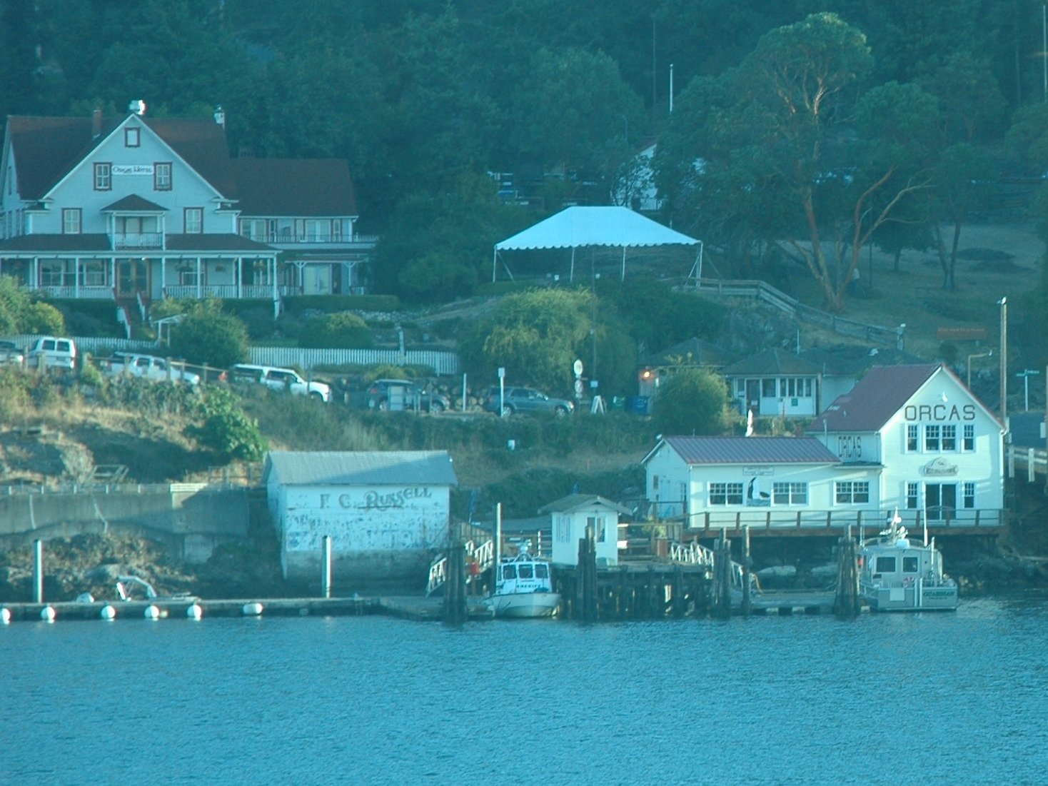
From the very first day here, some visitors to Mt. Constitution have had a tendency to wander all around our camp site, which is the one and only hook-up here. It’s a no-camping, day-use only part of the park, and we’ve got a little sign out there that reads, ‘SUMMIT HOSTS – ANN & ELLIOTT’.  There are also saw-horses, and a polite sign which reads, ‘PLEASE DON’T BLOCK RV SITE’.  Most people do “get it” that, “Hey, that must be a residency”, and they respect the boundary.

But for a certain kind of person, every boundary is a challenge to their special entitlement to violate it. The first few times these dweebs would really raise my hackles, but with the passing days here, I’m considerably more relaxed about it, if no less disgusted by these creeps. I’ve learned to see the humor in their absurd conceit. If I have “the drop” on them, it’s kind of fun to suddenly pop into view.  Like ambush journalist Mike Wallace barging into the corrupt politician’s office, bang! There I am, all alligator smiles, asking, “Are you lost? Can I be of assistance?”.

In fairness, sometimes they really are just disoriented, and in dire need of the restroom. Those people I cheerfully help and guide along.  But the voyeurs will blanch with shame: They’ve been caught peeping in your windows, and they know… that you know… what they were really up to…AND what they are. It’s kind of wonderful to see them stammer, “Uh, no, … good-bye.”  And off they slink!

Well played, Elliott… well played!  😀

Notes from Orcas Island: Geronimo!

This little journey to Orcas Island, and experimenting with unemployment, early retirement, call it what you will, started without much planning. To say that the sudden decision to take three months of unpaid leave from my career was spontaneous is a major understatement. One minute, I was blithely puttering around the house, the next I was searching Craig’s List for a cheap motor home in the Pacific Northwest. How do these changes happen? Or perhaps better to ask, “Why?”.

We have met a number of people who live and travel full time over the past several years, and that life holds a certain allure for me. Many of these modern gypsies are in retirement, but not all. The young people who work and travel constantly are the most interesting of them. When it’s time to retire, it’s easy to think of selling the “farm” and hitting the road, but for younger people the point is that “farms” never held any appeal in the first place. Nomads don’t imagine that they should ever cling to one permanent home, but feel at home as they travel. They are “permanent transients”, to borrow Edward Albee’s phrase from ‘The Zoo Story’, but joyously so. They do bond and form communities, both with people fixed in space, but also with other nomads with whom they crisscross paths over and again.  They’ve acquired skills that allow them to earn and be productive where ever they are.

My work is doctoring people’s eyes, and as such hasn’t lent itself to wandering off so.  I did have earlier careers where frequent travel might have been the normal mode. I might have become an actor, or remained in the military, but those paths didn’t stick. Now I’m very close to setting the clinical work aside. bungieWould I want to live constantly in 90+ square feet, caring for the vehicle and its “life support” systems, and thinking ahead to the next port of call, the next vista? Maybe…  maybe not.

But whatever I learn, it will be from having sampled the nomad’s life for a time. It needed a leap from safety. A bungie-jump, if you will.

Geronimo!

Hiking Trails in Moran State Park: Hike #5, to Cascade Falls

Three days a week–Tuesdays, Saturdays, and Sundays–it is my responsibility to pick up litter in the day use area down by Cascade Lake. This is a recent addition to my duties because two of the volunteer hosts had to leave for medical reasons, and so the remaining volunteers have divvied up all their tasks. Since I have to start my day at the gift shop on Tuesdays and at the learning center on Saturdays and Sundays at 11 a.m., that means I have to get down to Cascade Lake and back up here before that time–and it’s 4.3 or so miles each way, and normally takes four hours just to hike.

I could easily drive to the bottom–but we’re in a borrowed car and are trying not to kill its transmission by going up and down the steep road more often than once a week or so. So I’ve started hitching a ride with the ranger or park aide opening up here at 6:30 a.m., do my litter-picker-upper job, and hike back uphill via the Cold Springs Trail.

Yesterday, Elliott went with me–and since I didn’t have to work in casfalls1the gift shop, we had all day to hike. We stopped on the way down at a couple of abandoned mine shafts, where someone had gruesomely  placed a rabbit skull (Deer? Human?) on a stick at the entrance. Elliott bravely followed the shaft until it split in three directions and cave-smthen opted to return to me, waiting at the entrance and ready to flee at any moment for help, life, or backup (depending on what he found). Near the bottom we also found what has to be one of the largest trees in the park, though the tree-smmajority of them are to be found near Mount Pickett–a hike for a different day.

It takes about an hour to pick up litter at the beach, the parking lots, and the picnic areas. Although most people are considerate and dispose of their trash, there are sometimes those who simply leave their tables littered with used cups, paper plates, paper ice cream dishes, the remains of a dozen or so crabs, and so forth. Grrrr! Cigarette butts abound in the parking lot, presumably where someone waited for errant family members to arrive. The worst litter is the fruit sticker, since it gloms itself on to pavement, tables, grass, etc. Many people do stop me and thank me, and it does feel good to leave the area looking much better, so I guess I won’t complain too much about the few.

After dumping the litter in trash cans, we took the Cascade Loop trail to Cascade Falls, where there are actually four waterfalls: casfalls5Rustic, Cavern, Cascade, and Hidden Falls, all found within about a half-mile of the trail. Cascade Falls is the tallest, at over 40 feet, and the highest in the San Juan Islands. During the course of our hike to Mountain Lake, the path followed the stream–and we found several other, unnamed but equally enchanting, waterfalls. We also found casfalls2trail riders and a banana slug.

At that point, nearly nine miles into our hike, we called it quits and hitched a ride to the top with Gary, one of the park employees. Facing the last five miles–most of them a steep incline–on a by-now empty stomach was more than we could bear. Still, we’re well on our way to covering all 38 miles of hiking trails in Moran State Park.

Whale watching in the San Juan Islands

This was on Ann’s bucket list for our adventure as summit hosts here on Orcas Island. I was encouraging her to go, but hanging back for my own part at the expense. Then we found a hefty online discount for a tour boat out of North Beach, conveniently close to East Sound  just below Moran State Park.DSC_7854 It was such a good discount that we were a bit leery, but Outer Island Expeditions proved to be very capable, with fast comfortable boats and enthusiastic, well informed guides.

After the safety briefing, we were divided into two groups, and boarded onto some VERY fast boats. We were on our way, streaking north into Canadian waters. Our sister craft was smaller, lighter, and a bit faster, and took off ahead of us. Our craft had a larger group, and better shelter from the elements, which we greatly appreciated on the return run, chasing the sunset.DSC_7994

We saw many, many orcas whales in the island channels, but also some lovely lighthouses, and a number of interesting ships. A Canadian destroyer was working its way south past us, as well as several British Columbia ferries. DSC_7878The whale watching traffic kept a respectful distance from the pods of orcas, and their good manners were monitored by a Canadian wildlife Mountie. Our group was a delightful set of people, with the occasional exception of one lady who kept nagging our captain to “get closer”. With good grace, he explained that we were as close as was healthy for the whales, and to avoid a $10,000 fine. DSC_7870 Eventually she gave it a rest, and we got back to tracking parallel to the whales as they fed and played very close to the rocky shorelines.

The straits between these islands were close, and heavily trafficked, and at one point a pair of huge ferries appeared to be on a collision course. DSC_7939 They slipped past each other with perfect grace, giving us a spectacular show. I imagined that the din of their engines was a constant annoyance to the whales. Another close encounter yieldedDSC_7982 a great photo of a beautiful sailboat passing on our left.

However, the whales were first and foremost the main attraction.  Here are the best shots I was able to bring home, using a borrowed Nikon D-80 and a 70-200 mm zoom telescopic lens. (The camera body belongs to our neighbor Lori. Thanks, Lori, for making these pictures happen!)

DSC_7880DSC_7892DSC_7899DSC_7933DSC_7975DSC_7984DSC_7986DSC_8018DSC_8021DSC_8026


We had a considerable distance to travel as the sun got low, but our guides took the time to stop as they spotted sea lions swimming in the channel, and enjoying a late sunbath on some rock outcroppings ashore. DSC_8020The sunset was becoming spectacular, and the light it cast on a number of retired island light houses was splendid. DSC_8052We passed by the Patos Island light house, which was the last manned lighthouse in the United States when it was automated in 1974. DSC_8053We’ve heard that it is still occupied by volunteer hosts who provide tours in season. 🙂

It was time to make tracks for our harbor at North Sound, and the guides sped south with the sun dancing with the wake. Ann gamely rode in the stern for the view, DSC_8039with the wind and spray, and so did I for most of the ride. DSC_8036The light shifted from golden to blood red as the boat throttled back into the no-wake zone leading into the channel at Smugglers’ Bay.

It was a perfect outing. We were so pleased with the cheerful professionalism of the guides, and the company of our boat-mates. A bit chilled, but happy with the day, we went looking for dinner.

DSC_8058

Hikes #3 and 4: Mount Constitution to Cold Springs to Cascade Lake

Length: 9.17 miles. Time: 4 hours plus the time it takes to devour one dish of sorbet

Elliott and I completed the descent along Moran State Park’s Little Summit Trail from Mount Constitution to Cold Springs a couple of days ago, and it was by far the easiest (so far) of our hikes. It’s a mile and a half from the summit to the Cold Springs picnic area, where explorers can find a spring next to an old well.

Bat research
Bat research

There’s not much to see at Cold Springs–well, other than, you know, your typical enchanted green forest, mossy hillsides, and Mother Nature at her finest. There’s also a bat project there that Elliott’s been tangentially involved with. The area comes alive once people leave (or stop talking), with birds be-bopping around, squirrels chittering, and presumably bats doing their sonar thing.

The next hike, a day or so later, I followed that same path but continued on downhill past Cold Springs, where the trail begins a

1972 windstorm
1972 windstorm

steep descent switchbacking toward Cascade Lake. Here is strong evidence of the windstorm that struck Moran State Park in 1972. Some of the upraised root structures look like nightmarish monsters. Unfortunately, since then, many of the second-growth Douglas fir trees have become infected with laminated root rot—perhaps as many as one in four trees, the rangers estimate. Part of that is also due to the stress the trees are under from the drought, as evidenced by the cascade of dry pine needles that descend on my head in a gentle breeze. A major cleanup effort in 2011 eliminated the worst cases of the root rot, but it is still prevalent. Thousands of western red cedar and

monster in the woods--can you see the eyes staring back?
monster in the woods–can you see the eyes staring back?

lodgepole pine—native trees that are not as susceptible to root rot—have been started and will be transplanted to the areas hardest hit by the fungus.

One of the plants I was hoping to find was the phosphorescent fungus I remember from Girl Scout camp days. I found several fungi that looked similar, but since it was daylight I couldn’t quite tell if they were what I was looking for. Apparently, nearby Shaw Island is alive with bioluminescent critters, as shown in this (slightly reimaged) amazing photograph by Floris von Breugel.

A pileated woodpecker showed no concern as I traipsed along the path, nor did a squirrel happily munching a pinecone. I didn’t see any

Can you find the woodpecker?

deer, though their tracks were all around. I met a few hardy souls hiking up as I went down, and ran into them again as I was huffing and puffing uphill and they were sprinting down. But my plans to do this in the mornings in order to pick up litter at the lake before going on duty at 11 at the top have been moved to the category of “Dream on,” because that would entail hiking down in the dark, something not for my cautious feet.

I see a grumpy face in this one.
1972 windstorm
1972 windstorm
1972 windstorm
1972 windstorm


Nurse tree
Nurse tree
fungus
fungus
Holy research project, Batman!

Volunteering at the Gift Shop

One of my jobs as a volunteer host is to fill in at the Summit Gift Shop, high atop Mt. Constitution and across the dead-end loop from the Summit Learning Center where Elliott and I spend our weekends. The gift shop is open daily, 11–4, and is the primary way the Friends of Moran State Park (FOM) earn funds, 100% of which go to helping the park and its volunteers.

My favorite t-shirt
My favorite t-shirt

The gift shop is two-room cabin located in an old 8’ x 10’ forestry shed built–like so many of the structures in the park–by the Civilian Conservation Corps in the 1930s. FOM sells a variety of souvenirs as well as chips, candy bars, and kettle corn from the building. Unlike most touristy sorts of venues that sell cheap kitsch, most of FOM’s are exclusive to the area and appropriate to a state park.

One of the best things about working in the gift shop is that I get to interact with the public–which, after a couple of days of being hermit-like in our RV and all of our nights of solitude, is a welcome relief. I like knowing where people are from, why they are here, and so forth. Perhaps that’s just another way of being snoopy, but chatting with visitors makes the day go by quickly.

The weather has been exceptionally warm (I wouldn’t go so far as to say hot, though some of the locals do) and dry, despite the little bit of drizzle we had a few days ago, and that means that we’ve had a larger number of visitors. Yesterday’s view of Mt. Baker was obscured by haze and rumors of a forest fire, but that didn’t seem to stop visitors from driving, biking, and hiking to the top.

The bicyclists are amazing, riding all the way to the top of a 4.7-mile incline from sea level to 2400 feet. Most drivers know to share the narrow two-lane road with bicyclists and are aware that a slower bicycle might be lurking around the next hairpin switchback, though we’ve seen a few drivers (and a few younger bicyclists) who seem oblivious to the dangers. Every once in a while a bicyclist takes a spill, usually while going downhill at excessive speeds (in my book, defined as over 12 mph, but I’m a chicken when it comes to high speeds on a two-wheeled vehicle).

2-smallHikers are easily identified by footwear and sweat. Later today I plan on doing the hike to the bottom and back up again (the opposite of most hikers), so more details on that later.* Particularly impressive are the families–sometimes with kids as young as 8 or 10–who arrive at the summit still full of energy, racing each other to the top of the tower. Trail runners are particularly remarkable, as the loose stones, high roots, and fallen trees have to be taken into account. Some of them are training for the triathlon to be held here on Labor Day Weekend–and there will definitely be more about that later too.

* I hiked Mt. Constitution to Cascade Lake, bought a sorbet, and climbed back to the top by way of the Cold Springs trail–four hours, sore muscles, and a hole in my dirty, stinky socks…but I’m glad I did it.

Zen and the Art of Living Small

Zen mastery is achieved through alert meditation, and sometimes aided by a sharp whack from the teacher’s Keisaku.

Keisaku
Keisaku

When the student becomes drowsy or loses concentration the teacher will remedy the inattention with a flat stick, judiciously applied, called the Keisaku.

Living in “miniature”,  as we do in this small motor home also requires alert concentration. There is a meditative quiet in sharing quarters so closely. Ann and I sit at our respective sides of the dining “desk”, writing or reading, with only the whir of computer fans and the tapping of our keyboards stirring the air.

There can be a balletic grace in coordinating our movements about this space. The thoughtful shift of a foot or knee, a willowy bending or side-slip when passing in the aisle, with a whispered brushing of buttocks, and dinner gets prepared, the groceries find their way into the pantry, a buzzing fly is dispatched, they laundry gets folded, and the day unfolds just so.

However, lose one’s concentration, become distracted and forgetful proceeding in HASTE,  and we will quickly be schooled by our  Zen teacher with a sharp rap to the head, knee, or toe. The motor home itself is both  Master and Keisaku.

Our good friends, Chris and Cherie , once wrote about the difficulties of living and travelling in another small motor home, aptly named by Winnebago “The Le’Sharo”. lesharoThey were amused to find its name described the Fulani tribal custom, SHARO, of whacking errant students with a stick to improve their performance.

Would it surprise you, dear reader, to learn that the Le’Sharo they were driving is our OTHER rv?  I am here to report that this American Clipper is continuing the tradition. Zen-Garden-smThe knots on my head are proof of it. However, I like to think of them as  small pebbles in the expanding Zen garden of my quiet and more concentrated mind, living small, atop a mountain.

East Sound Fly-In at ORS: A stroll among my tribe

Orcas Island’s airport (ORS) hosts an annual fly-in every August, hosted by EAA Chapter 937.  Ann and I visited yesterday evening. These island airports are busy with smaller aircraft, as  package carriers (UPS, FedEx) fly parcels in at ORS using single engine Cessna Caravans . The largest plane I’ve seen was a Lear jet.

On any given summer weekend, you can find fly-in campers at this airfield, with tents pitched next to their aircraft in the grass tie-down area. The field is very hospitable to the backpack flyers, and has provided a restroom with a hot shower (donation encouraged). It’s charming to see one or two of these planes tied down with a colorful nylon tent pitched under the wing.

Camping year ’round is very laid back for a general aviation airport, but ORS goes one better: A few of the aircraft owners have set up their hangars as ad hoc get-away “cabins”, with the means to fix a meal, or comfortably pass a night in.

It’s a busy airport in its own right, but the annual Fly-In fills the field up with numerous beautiful and some rare birds, as well as an enthusiastic crowd of pilots and co-pilots. Tents are everywhere, and confabs of flyers gabbing in circles of folding canvas camp chairs in-between them. Four guys from an EAA chapter east of Tacoma sat in the midst of their Vans home-built project planes (three RV-4s and an RV-10), sharing salsa with tequila shots. korsflyin-small  I traded jokes with them, and was offered a shot in turn (cheerfully declined), and bite of salsa (peppery and piquant). Strolling with Ann among the gathered pilots, it occurred to me that these people were one of my natural social tribes. I could understand and appreciate the eavesdropped conversations, and could comfortably join in on many of them.

A barbecue buffet was offered for a very reasonable donation in one of the open house hangars, and we feasted on cheese burgers, sides and salad. orcashangarWe hunkered down with paper plates piled high, sharing our table with a old flyer from San Juan Island . He spoke of learning to fly between these islands 50 years ago, landing and taking off from pastures more often than from runways.

All in all, I’m very glad we chanced upon the annual Fly-In for its first evening. We lucked into a warm and gracious meal among strangers who, through the common interest of planes and flying,  weren’t really strangers at all.


Little Summit Trail and Mount Constitution Loop

This is an almost 7-mile loop at Moran State Park–though my GPS registered it at 11 miles. I’m learning not to trust my GPS here. It takes about 3 hours to complete, and is rated “difficult” because it has a 1490 foot elevation loss/gain. If you start at the top, the only “unmarked” portion is at Mountain Lake–it *is* marked, but only if you look back over your shoulder after you pass the picnic area.

One of the most interesting parts of this hike is the changing ecosystem. Near the summit, much of the ground is rocky, with brush and small trees emerging from the bedrock–as if you were above the tree line, though that isn’t really the case, as some of the trees at the summit are taller than the tower itself now. On the Twin Lakes trail, trees are old, huge, and mossy, like childhood images of 2015-08-01 14.33.21an enchanted forest, sunlight streaming down in sparkling rays to lead you away from the haunted witch’s house. Further down the trail, trees are younger and taller, and trails are smoother. The sky is more visible, and the view opens up to the snow on Mount Baker, over 10,000 feet high and more than 100 miles away; from the trail, you can imagine you’re looking down on it. Then after Mountain Lake, the uphill trail becomes extremely steep and rocky, the remnants of an old pathway for phone lines back when crank phones were still used.

2015-07-28 17.05.15I didn’t see any black-tailed deer on my hike (this photo came from the day before, without any telescopic enlargement), but that’s probably due more to the time of day than anything else, as they are prevalent all over the island, and blasé about humans. “Got food?” they seem to ask, though we’ve been warned not to feed them because they can be unpredictable. One night around 10 p.m. we were startled by the sound of someone shuffling through the gravel right next to the RV. It turned out to be a curious deer in search of food or company.

The trail from Twin Lakes to Mountain Lake was wide, flat, and suitable for trail running in most places. (I tried running for a short distance, but I’m too unsure of my footing. Each rock and root became a major obstacle to my peace of mind.) The path narrowed somewhat when getting to the lake, but from a distance I could hear 2015-08-01 13.21.11the sounds of swimmers, boaters, and campers. The loudest shrieks came from kids on a rope swing halfway down the east side of the lake. A small boat ramp showed where kayaks and inflatables put in, and a boat of fisherpeople was loading just as I arrived. The Department of Fish and Wildlife stocks trout in the lake, and both trout and Kokanee salmon are found in Cascade Lake.

And then the hike became a serious uphill trudge. Up till now, it was all pretty much downhill–all 1500 feet of it. The next mile was so steep I found myself stopping often to catch my breath, with all sorts of “what ifs” going through my head. There is no cell phone serivce here, so–What if I fell down a ravine? What if I twisted my ankle? What if a tree fell on me? None of these was likely, so I shoved the thoughts out of my mind and concentrated on the trees and plants around me. The path parallels the road for a while, then branches off toward Little Summit, only a short three-tenths of a mile away. At that point, it might have been 300 miles, as I was too focused on getting back to the top in time to check in at the Summit Learning Center. I’ve been told the views to the west at Little Summit are unlike those at the top, which are to the east. Now, a couple of days later, I’m wishing I’d taken the time to go, but I guess that’ll be a tale for another day.

Day trippers! Friday Harbor

A Mission At Dawn

Yesterday, Ann and I set out on a special mission, its purpose one of compassion. We were determined to bring about a happy reunion, but I’m getting ahead of myself…

Orcas Island is one of the San Juan Islands, the largest of which are served by a state-sponsored inter-island ferry service which is free to pedestrian and bicycle traffic. It’s popular to hop the ferry over to the other islands to see their unique sights, and savor their special ambiances. All well and good for tourists, but we were not tourists! (Ok, we WERE tourists, but, hey, it’s called MULTI-TASKING!)

jobUp before dawn, and with but coffee for our breakfast, we drove down the summit, re-securing the night gate  behind us.  We made our way to the ferry at West Sound, where  the Orcas Hotel provided round two of coffee, with a side of muffin. Incidentally, the grill and tap room at the Orcas Hotel is just wonderful, with an old jukebox sporting a bronze plaque dedicating it to some previous managers of the hotel. The place looks like a proper Fawlty Towers sort of B&B, but without Basil Fawlty to gum up the works. The ferry arrived, and off we went, sufficiently caffeinated, into the rising sun, gliding across the inlets and channels of the San Juans.

DSC_7739At Friday Harbor, our mission was to find Cammille, who was waiting at (according to my memory of it) some vaguely nautical sounding coffee shop. I asked several people where to find ‘The Salty Dog’.  She was awaiting us seated, just where she should be, in a place called ‘The Crow’s Nest’.  (Ok, that worked! ) Next up: The Joyful Reunion…DSC_7796

The Joyful Reunion

“Are you Cammille?”, I asked.

“Yes, are you Mr. Walsh?”, said Cammille, a hopeful light in her once sad eyes.

“I am! This is Ann, and here…”, I said, “…is your wallet!”, producing the once lost object with a flourish.

Cammille had dropped her wallet at the summit of Mt. Constitution the previous day while biking up there on a day trip from San Juan Island. A kind and honest soul had turned it in to us unmolested, and we had located Cammille by searching the internet. LinkedIn yielded a business name, which in turn helped us to obtain Cammille’s cell number, and our rendezvous was thus established. It seemed like a great excuse to day trip to Friday Harbor. Ann and I smiled, mission accomplished, and prepared to take our leave, but Cammille wouldn’t hear of it, and offered to drive us around San Juan, and show us the sights. “Delighted to!,” said we.

Cammille and Ann
Cammille and Ann

Cammille’s stories about working, biking and vacationing on San Juan were even better that the amazing coastal trails she hiked with us. A northern Californian, she had been living there for the past few months doing body work for a spa. Time would eventually take her back to California, but in the meantime she was enjoying the beauty of these islands. Here’s a small gallery of the sights we saw yesterday:

DSC_7811 DSC_7821 DSC_7822

DSC_7846

Such an amazing place we’re living in, and with such wonderful people!